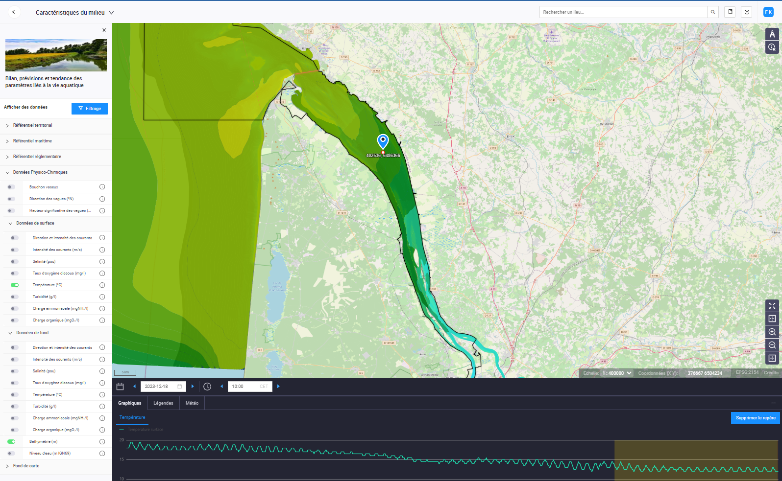
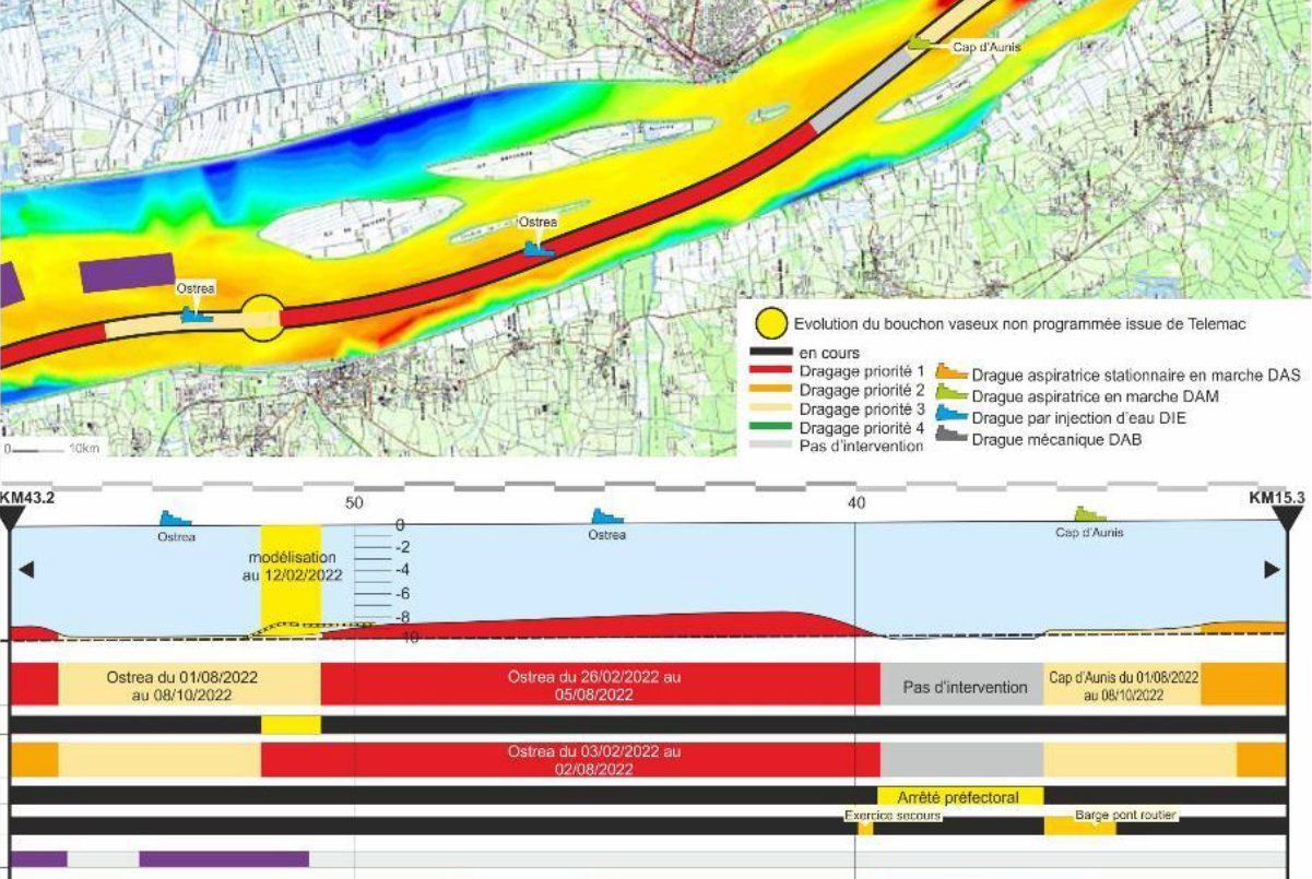
At the interface of the Garonne, Dordogne and Atlantic Ocean, the Gironde is Europe’s largest estuary. The Grand Port Maritime de Bordeaux has been monitoring it since 2022, thanks to its digital twin GIROS.
GIRondeOpenSourceis a project conducted by Egis on behalf of the Grand Port Maritime de Bordeaux to understand and anticipate the impact of climate change on the accessibility of its port by 2050 and on the environment of the river.
By virtualizing the behavior of the river estuary, the digital twin
provides several operational solutions to users
of this natural environment: river transport, maritime rescue, tourism,
fishing, agriculture …
Projecting tomorrow’s river traffic
Need: Will the Grand Port of Bordeaux be navigable in 2050?
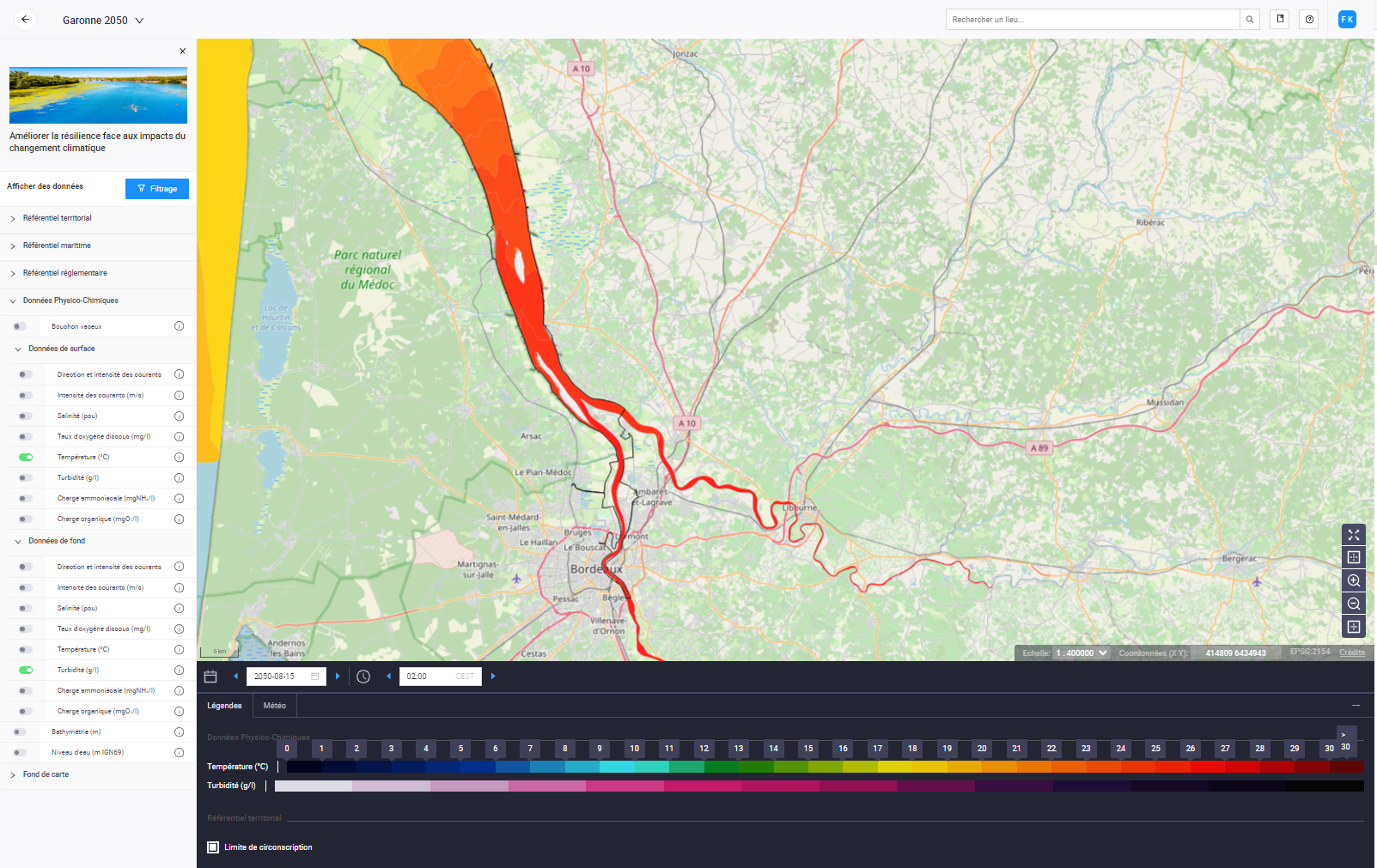
Solution: Garonne 2050 simulates the impact of climate change on navigability in several years’ time, incorporating scenarios from the IPCC report.
Benefits: Tailored investment strategies for the next 30 years
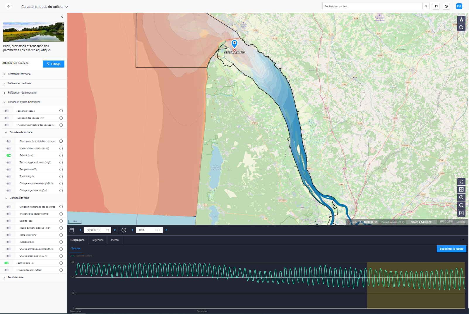
Building a river weather forecast
Need: What will water levels and currents look like over the next few days?
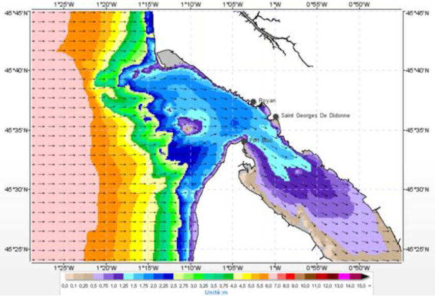
Solution: La Météo de la Gironde is an online mapping application providing daily observations and forecasts for the coming days.
Benefits: Prevention of high-risk situations through widespread communication with river users
Understanding and anticipating water management
Need: What uses, what needs, what impact on the environment?
Solution: Garonne 2050 simulates the impact of climate change on the river’s environment in several years’ time, incorporating scenarios from the IPCC report.
Benefits: Multi-stakeholder resource management and river development strategy
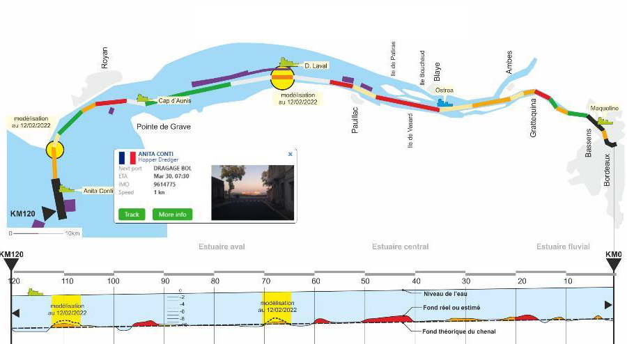
Help with navigation
Need: Do ship pilots always have the right information to decide on their route through the estuary?
Solution: The navigability portal provides navigation aids to inform about the hazards of vessel sinking, resistance to forward movement and mooring, and the risk of berth flooding.
Benefits: Traffic safety and reduced risk of silting up ships
Fuelling engineering and research
Need: How do daily measurements contribute to collective knowledge of this complex natural environment?
Solution: the simulation module enables management authorities, design offices and scientists to create scenarios by modifying model parameters.
Benefits: Pooling computing power, Stimulating collaboration
